The lecturers and researchers at the University of Miskolc have successfully addressed various environmental modeling tasks related to environmental assessment, impact assessment, and environmental informatics. They utilize GIS and remote sensing data to employ a wide range of tools and software for geophysical, pedological, and hydrological studies, including drone technology and IT tools for data retrieval and processing from sensors. These capabilities enable them to undertake surface and near-surface thematic mapping tasks, interpret, analyze, develop, run, and evaluate models for practical tasks within their field of expertise.
INSTRUMENTS:
- Development and operation of environmental monitoring systems
- Acquisition and processing of remote sensing data, preparation of thematic maps for the assessment and characterization of the environment, and their time-series analysis and monitoring
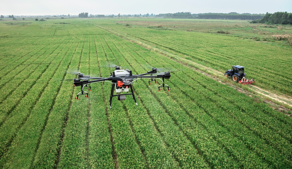
- Development of monitoring systems supporting agricultural production and processing of data from monitoring systems
- Preparation of environmental impact assessments and development of environmental monitoring strategies for the temporal examination of critical effects and impact areas
- Development of GIS systems and files
- Digital topography modeling methods for the characterization and detection of the flow and spread of surface and groundwater and pollutants
TOOLS:
- ArcGIS
- Cit ArcGIS
- CitiEngine
- ENVI
- ENVI SARScape module
- RTK GPS
- Meteorological stations
- 211-meter deep soil moisture meters and loggers
- Field equipment
- Conductivity, dielectric constant, oxygen diffusion, and rH, tensiometer set
- Machine undisturbed soil sampler
- Drone technology with a wide sensor set
- DJI MAVIC2 Enterprise Dual drone
- Field hand and motor samplers
- Beats, inclinometer equipment
- Installable weather station
REFERENCES:
- Operation of Bükk Karst Water Monitoring System, stock forecasting
- Floodlog project, INTERREG HUSK, flood modeling for the Bódva river
- Floodresc project, INTERREG, HUSK, flood modeling for the Hernád river
- Model development related to the surface drainage system of the city of Sajószentpéter
- Preparation of the 1:250,000 soil database of the Danube river basin
- GROW project – integration of soil moisture data into a monitoring system and methodological development of its spatial extension
- INNOVÍZ project (Budapest and Miskolc water network leak detection pilot project)
- E-SOTER project, FP7, Development of digital soil mapping methodology
- GS-SOIL – e-Content-Plus: GIS beach development for soil in support of the INSPIRE directive
- Operation of the Avas-south stability monitoring system in Miskolc
- KITE Zrt. Cooperation in the development of soil mapping and precision zone systems
- MOL Plc. – Factor analysis of deep drilling geophysical data and utilization of results, innovation-development cooperation
- Carrying out geoelectric measurements for environmental protection in the area of Székesfehérvár-Ipartele


